Download: The Finger Lakes Trail In the Emerald Necklace: A Plan for Corridor Protection and Enhancement (PDF)
Prepared by Mark Whitmore and Rick Manning for the Finger Lakes Land Trust
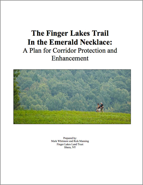
The Finger Lakes Trail (FLT) is a 900 mile system of hiking trails that includes a 563-mile-long main trail stretching from Allegheny State Park to the Catskill Mountains. The trail is widely recognized as a recreational resource. It traverses a diverse mix of public and private lands, including extensive forests, open farmland, rugged gorges, and rural hamlets. The Finger Lakes Trail was created exclusively by volunteers of the Finger Lakes Trail Conference and several local hiking clubs, including the Cayuga Trails Club.
This planning effort was initiated to help protect and enhance a 78-mile section of the trail that passes through the “Emerald Necklace”, a crescent of forest lands that stretch in an arc around the City of Ithaca through Schuyler, Seneca, Tompkins, and Tioga Counties from the Finger Lakes National Forest in the west to Hammond Hill State Forest in the east.
The Emerald Necklace is a network of open spaces that is composed of protected lands within six State Forests, two State Parks, a State Wildlife Management Area, a National Forest, eight Finger Lakes Land Trust Nature Preserves, and six Cornell Plantations Natural Areas totaling more than 50,000 acres. These protected lands comprise approximately 40 percent of the FLT corridor; the remaining 60 percent is hosted by 53 private landowners on 80 parcels. Agreements to host the FLT with these landowners are made almost entirely on a handshake basis, which is revocable at any time.
Today, nearly 12 miles (15 percent) of the Trail are located along the side of public roads, instead of in farm fields or through woodland, as was envisioned by trail volunteer planners. Since 1971 the amount of trail that has been routed onto roads has increased by approximately 2.5 miles, or about 25 percent. The slow, but steady shift from field and woodland to the roadside is a result of many factors, including property sales and subdivisions, landowners’ decisions to discontinue hosting the trail, and land development pressures. The result is a greatly diminished scenic and natural hiking experience on the Finger Lakes Trail.
Download: The Finger Lakes Trail In the Emerald Necklace: A Plan for Corridor Protection and Enhancement (PDF)
You can download other regional conservation plans in PDF format. See all plans here.